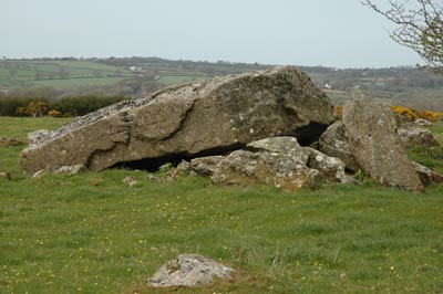
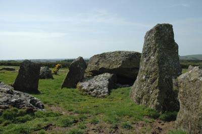
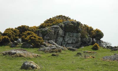
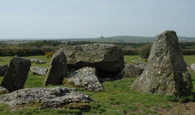
This site is a collapsed dolmen at SM 979272, near the hamlet of Colstone, about 15 km south-south-west of our Mynydd Preseli target area. The monument has a huge capstone that has slipped on partially collapsed uprights, and is part of a confusing megalithic complex adjacent to a natural rock outcrop. The complex was much larger than now survives, as some of it disappeared due to the depredations of time, and has received relatively little archaeological investigation. In addition, there are at least two other dolmens in the immediate area, probably part of the greater complex, so this location clearly had special significance in the Neolithic era. There are Bronze Age and Iron Age accretions at the site, and later, in the Middle Ages, it became a station on the pilgrimage route to St. David’s shrine in St. David’s cathedral.
Visual Mapping
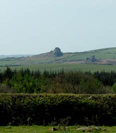
The most striking thing about the Garn Turne location is its positioning regarding sightlines to two prominent natural outcrops, apart from the one where it is situated. Garn Turne is intervisible with a prominent tor (Great Treffgarn Rocks) to the SSW (at SM 957251) and with Mynydd Preseli on the extreme northern skyline. This same precise placement is repeated at another dolmen some distance away (see below) suggesting intentionality.
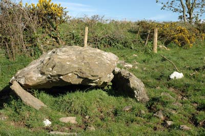
Dolmen at SM 983266
There are two other dolmens marked on the 1:25,000 O.S. map in the close vicinity of Garn Turne. One is a kilometer southeast of Garn Turne. It is in a collapsed state halfway up a sloping field and alongside a fence.
On first approach it appeared that there could be no interesting visual mapping possible from this site, but closer study proved that impression wrong. Among trees to the southwest the landmark of Great Treffgarne Rocks could be discerned on the extreme skyline, and in the opposite direction Mynydd Preseli was also visible on the horizon. This monument had to have been placed with great precision on sloping ground to make these two skyline features both visible. With the sightline evidence from Garn Turne, it appears the megalith builders viewed Great Treffgarne Rocks as well as Mynydd Preseli with significance.
Acoustic Mapping at Garn Turne
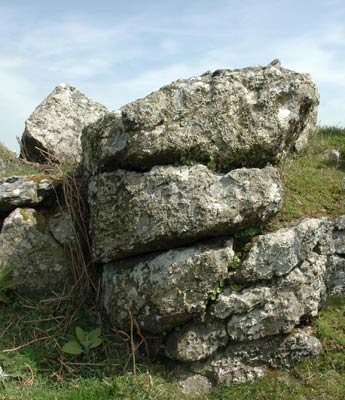
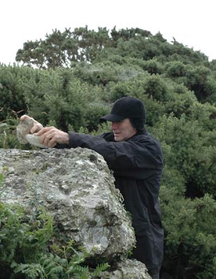
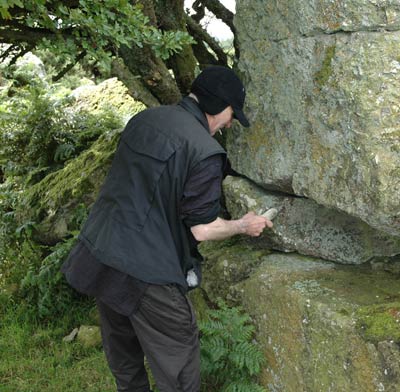
Tests on the Garn Turne dolmen elicited no resonant responses at all. The same result was found with surrounding standing stones, with one exception – some mild resonance was found in a fallen standing stone just to the east of the dolmen. However, the natural outcrop held a surprise for us. A few tests seemingly showed the natural outcrops to have no ringing qualities, and this was to be expected given the nature of the geology (vesicular soda-rhyolite, to be technical). But the behaviour of a bird on one of the smaller outcrops caught our attention. The creature perched there and wouldn’t move even on our close approach. It turned out that the top tier of this outcrop did have distinct ringing qualities.
This may be purely fortuitous peculiar to this site, but nevertheless it raises the hitherto unsuspected implication that we should in future acoustically test any outcrops near monumental sites as well as the monuments themselves.
On a subsequent visit to the site, we invited professional percussionist Z’EV along. He “played” the “resonant outcrop” and tested many of the others at the complex, and some proved resonant to greater or lesser degrees, though there were no clear “ringers”.
Carn Menyn Focus Areas
Carn Menyn: The Promontory
Acoustic Corner
Carn Goedog
Beddarthur, Carn Bica and Carn Sian
Foeldrygarn
Pont Saeson
Related Locations
Gors Fawr
Garn Turne
Carn Besi
Carreg Samson
Pentre Ifan
Ffynnon Druidion
Strumble Head
Ffyst Samson

 fig.1 - General view of Garn Turne from the north.
